The Encyclopedia of Oklahoma History and Culture
GREAT SALT PLAINS.
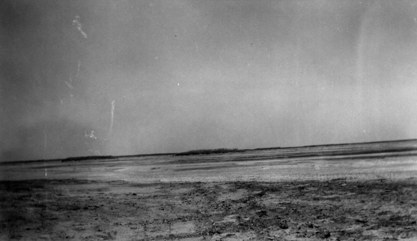
The small north-central Oklahoma wonder called the Great Salt Plains, known for its hourglass-shaped selenite crystals, is a flat, bare, eleven-thousand-acre slab of land in Alfalfa County. This geological phenomenon, which gained its name from the thin layer of salt that covers the entire area, has attracted geologists and sightseers for years. Scientists believe that salt was deposited during repeated water level rises of a shallow sea millions of years ago. The supply of salt is kept intact by saline groundwater that flows just a few feet below the surface. When the water evaporates, a layer of salt remains on the surface. This process also plays a role in the formation of selenite crystals, which visitors covet.
Many know of the hidden treasures that lie beneath this wasteland, but few are aware of the area's rich American Indian heritage. In 1811 George C. Sibley's expedition was guided from Fort Osage, Missouri, to the Salt Plains by Osage Indian named Sans Orielle. Sibley and his followers are said to be the first white men to visit the plains, which they would later name the Grand Saline. From that day, settlers from Texas, Kansas, and the Indian nations made trips to the plains to extract the salt.
Intertribal diplomacy and bloodshed have also played a part in the saline's history. Animals flocked to the area for the salt, making for excellent hunting. It became apparent that any tribe that controlled the Salt Plains would have to contend with intrusions by other tribes. Fierce battles raged over the use of this valuable resource. In 1835 the Treaty of New Echota provided the Cherokee Nation with ownership of the Cherokee Outlet but declared that the saline areas were to remain accessible to use by other tribes. In 1881 the Cherokee received permission to lease the Salt Plains to private investors. The enterprise failed, and well into the twentieth century ranchers and homesteaders in the area still gathered salt for use and resale.
At the beginning of the twenty-first century the Salt Plains were home to Great Salt Plains Dam and Great Salt Plains National Wildlife Refuge. The area's main attraction is the selenite crystals. These are created when the saline groundwater comes into contact with the mineral gypsum. Crystals can usually be found only a few feet below the surface. Gypsum can transform into crystals of many shapes, depending on the environment in which they are growing. Due to the presence of very fine sand and clay particles, during the formation process these crystals take on the shape of an hourglass.
See Also
ENVIRONMENT AND CULTURAL ECOLOGY, MINING AND MINERALS, RIVERS AND STREAMS, SALT AND SALT WORKS


